No products in the cart.
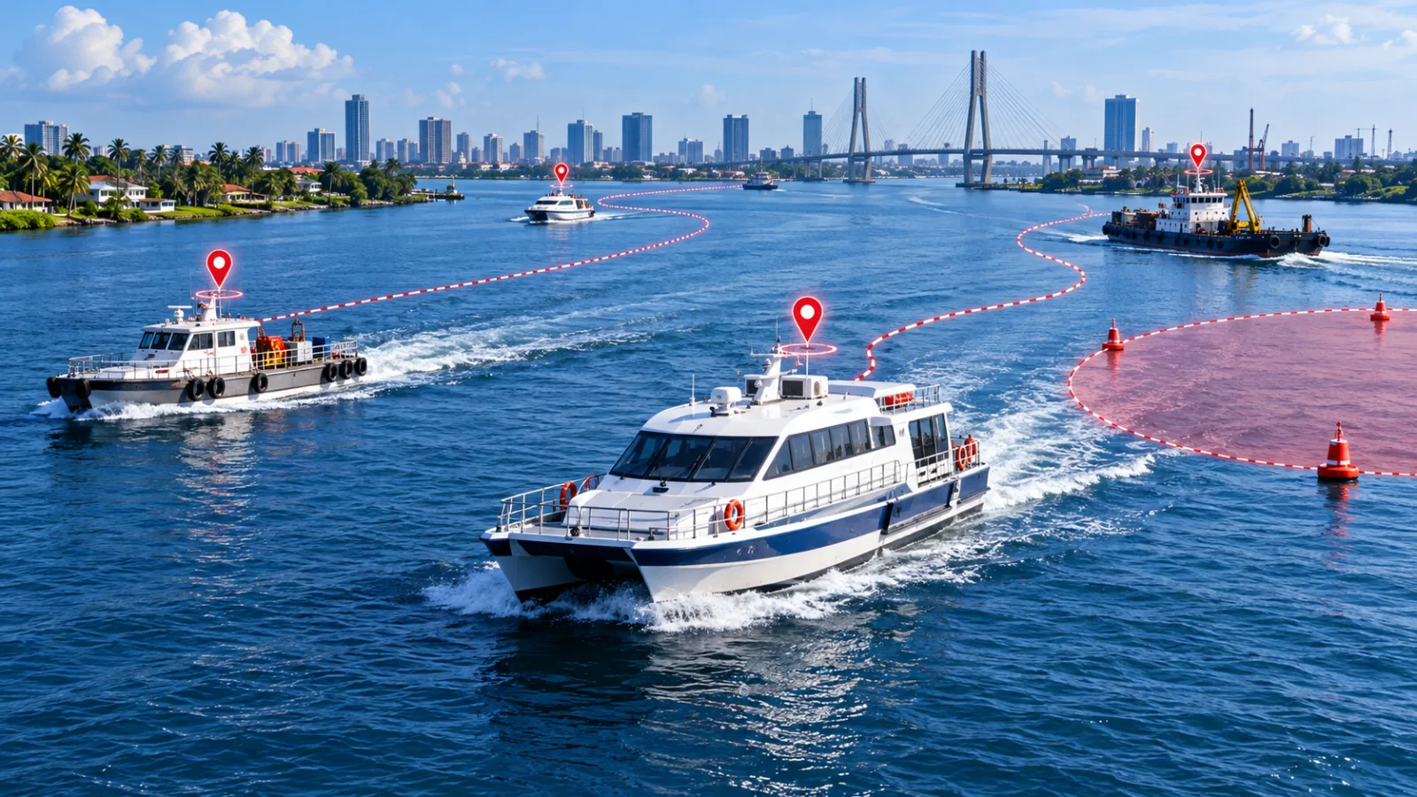
Quick answer: Marine operations face a visibility challenge: once a vessel leaves the jetty, managers and families may have limited information about its progress. GPS boat tracking can provide location, movement history and operating alerts that support coordination, security and post-journey review on inland waterways.
What you will learn
The questions marine tracking can answer
A tracking platform can show the last reported location, route, movement status and journey history of an equipped vessel. Operations teams can use this information to coordinate departures and arrivals and investigate unexpected delays.
Tracking supports awareness but does not replace navigation equipment, maritime safety procedures or emergency communication systems.
- Last reported position
- Departure and arrival time
- Route history
- Unexpected stops or movement
Use geofences around operating areas
Geofences can identify entry to or exit from jetties, service areas and defined operating zones. The boundary should reflect the geography and normal variation of water routes.
An alert outside an approved area is a reason to check, not an automatic conclusion. Weather, safety instructions and navigational conditions may require a legitimate change.
- Jetty arrival and departure
- Approved operating corridors
- Restricted or high-risk areas
- After-hours movement
Install for the marine environment
Power, moisture, vibration, concealment and antenna visibility require careful consideration. Devices and installation methods must be suitable for the vessel and expected conditions.
Create an inspection routine and verify communication before important journeys. A device that reported correctly last month should not be assumed healthy without current checks.
- Protected installation
- Power and battery review
- Communication test
- Maintenance record
Combine technology with operating discipline
Define who monitors vessels, how often status is reviewed and what happens when communication stops or a route changes unexpectedly. Keep emergency contacts and vessel records current.
Ciska Boats and Ciska IQ can provide connected visibility for vessel operations while trained personnel remain responsible for safety and decision-making.
- Named monitoring responsibility
- Escalation procedure
- Journey review
- Regular platform and device checks
A practical action plan
Start with the asset, environment and operating procedure rather than selecting a generic device. Confirm power, installation, communication, reporting frequency, authorised users and the exact action expected when an exception occurs.
- The questions marine tracking can answer: Last reported position
- Use geofences around operating areas: Jetty arrival and departure
- Install for the marine environment: Protected installation
- Combine technology with operating discipline: Named monitoring responsibility
Ciska specialised tracking solutions connect bikes, vessels, OBD-enabled vehicles and other mobile assets with the Ciska IQ platform. Professional configuration and disciplined review turn the data into a reliable operating tool.
Frequently asked questions
Can GPS tracking replace marine navigation equipment?
No. Tracking supports remote visibility but does not replace required navigation, safety and emergency equipment.
Will tracking work everywhere on the water?
Reporting depends on satellite visibility, device installation and the communication network used to send data.
What happens if a vessel stops reporting?
Follow the organisation’s communication and safety escalation procedure, checking the last timestamp and known conditions.
Take the next step with Ciska
This guide becomes more useful when the ideas are connected to the right hardware, installation and tracking software. For this topic, start with Ciska Boats.
Continue reading
Choose connected hardware and Ciska IQ software for cars, fleets, delivery bikes, cold cargo and inland vessels. Live tracking, journey history, geofences and smart security alerts. Fleet visibility, driver insight, operational alerts and business reporting. Multi-customer fleet intelligence for tracking companies and enterprise teams. Location and temperature visibility for food, medicine and sensitive cargo. Compact GPS tracking for dispatch bikes and last-mile delivery fleets. Route history, location visibility and operating-area alerts for inland vessels. Vehicle diagnostics with authorised-driver identification and accountability. A connected probe for reliable cold-chain and sensitive-cargo temperature data.Explore the Ciska ecosystem View all products →One tracking family. Every kind of movement.
 Personal vehicle protection
Ciska Hybrid Pro
₦80,000.00View Ciska Hybrid Pro → Fleet operations
Ciska Fleet Pro
₦85,000.00View Ciska Fleet Pro →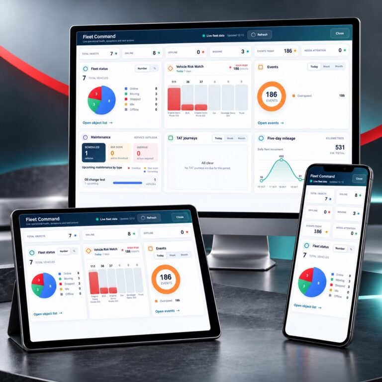 Tracking software
Ciska IQ AI Tracking Platform
 Cold-chain monitoring
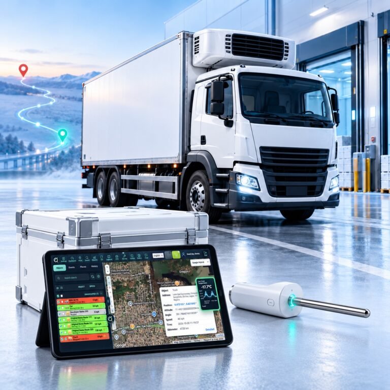
Ciska Cold
₦265,000.00View Ciska Cold → Bike and delivery tracking
Ciska Dispatch
₦70,000.00View Ciska Dispatch →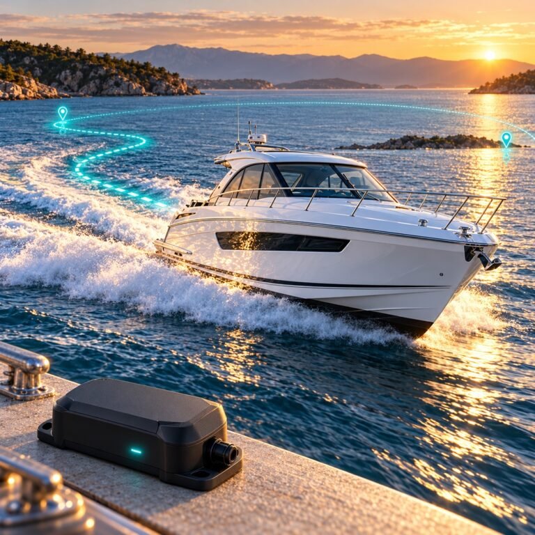 Marine tracking
Ciska Boats
₦80,000.00View Ciska Boats →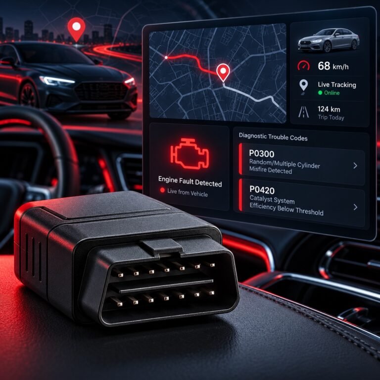 Diagnostics and driver ID
Ciska OBD-II + RFID
₦140,000.00View Ciska OBD-II + RFID →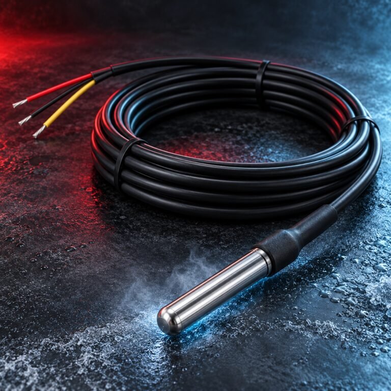 Temperature sensing
Ciska Temperature Probe
₦55,000.00View Ciska Temperature Probe →